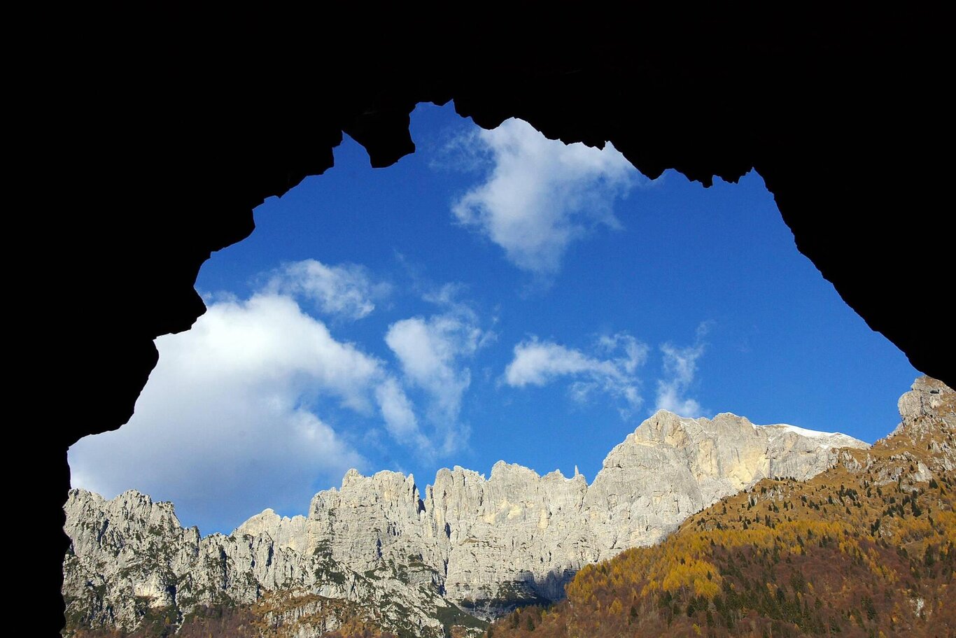
From the Col di Roanza refuge, descend to the valley for about 250 m, then take the dirt road on the right (signpost CAI 519). The path continues with a slight ascent until it reaches the entrance of a tunnel. After the tunnel, the road descends, with narrow bends down to the bottom of the Ardo Valley, at Casera Scala. From here, return to Col di Roanza via the same route as the outward journey.
Note: bring a flashlight to traverse a 500 m long unlit tunnel
The Ardo Valley, formed by the confluence of a well-structured network of streams and drains that carve and drain the southern slope of the Schiara group, stretches, often imprisoned in damp and dark gorges, all the way to the gates of Belluno. The valley, deeply incised in many stretches, cuts through the entire stratigraphic succession, from the oldest formations (Main Dolomite and Soverzene Formation at the head) to the tertiary formations of Flysch and Molasse (sub-montane area of the pre-park). The frequent stretches of gorge (narrow and confined valley bottom, bordered by smooth and overhanging walls) attest to the significant role played by the Ardo stream in the morphogenesis of the valley. The widespread and notable presence of glacial deposits, often affected by landslides and erosion, also documents significant glacial shaping activity, carried out by a lateral branch of the ancient Piave glacier, during the culminating phases of the last glaciation. Along the valley, it is possible to observe two interesting gorges that document two deviations in the course of the stream, the Bus del Buson and the gorge of Pont de la Mortis.
USEFUL INFORMATION:
- Departure: Col di Roanza (841 m)
- Arrival: Casera Scala (693 m)
- Difficulty: MC
- Length: 7.5 km
- Elevation gain: 170 m
- Minimum altitude: 693 m
- Maximum altitude: 860 m
- Trail sign: CAI sign 519
- Route type: Cycling routes
- Surface: 100 % unpaved
You are in a natural environment that requires respect:
- Prohibition of flower picking
- Prohibition of swimming
- No loud noises
- Prohibition of lighting fires
- Do not leave waste around, but dispose of it in designated areas (including cigarette butts, tissues, masks, and wet waste)
- Minors must be accompanied
- Dogs must be kept on a leash and their waste collected
- Do not leave the trail
- Do not disturb local wildlife
It is recommended to check the ARPAV website for any disturbances before starting the route.
