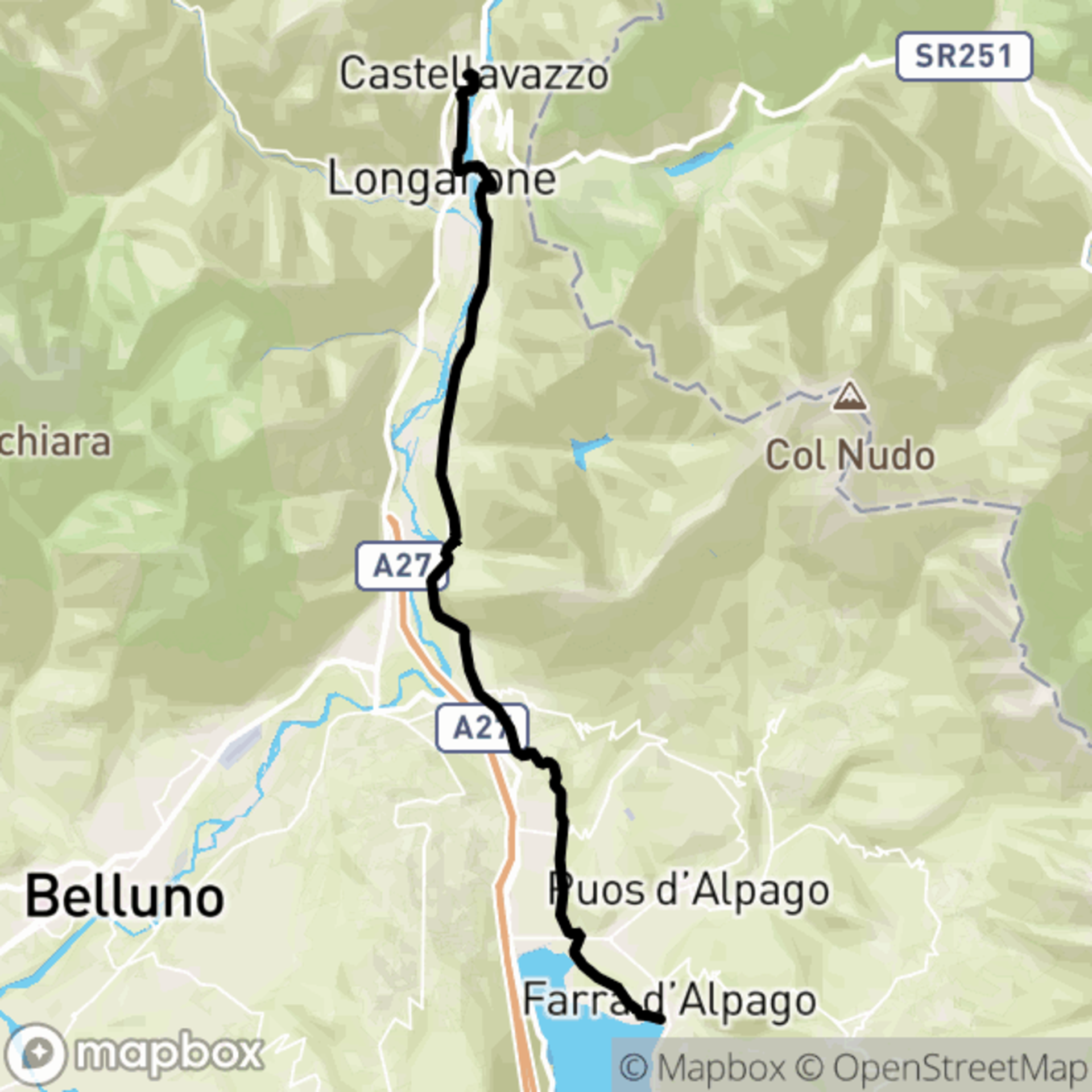
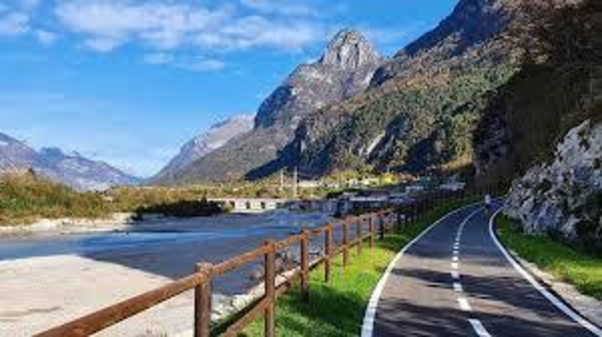
The initial part of the stage retraces the symbolic places of the Vajont tragedy; starting from the church of Longarone and exiting the center, one is immediately struck by the view of the dam that overlooks the town; the road towards Zoldo is taken and the fork for Pirago is soon taken on the left, and shortly after, on the right, the one for Muda-Maè; in Muda, after crossing the Maè stream, a short uphill stretch is traversed before turning left, until reaching the New Cemetery. On the right side of the cemetery, a path begins that follows the railway, with various ups and downs, leading to Faè Alto; just outside the town, looking to the left, one can observe in the distance the centuries-old sequoia, now a UNESCO heritage site, that survived the Vajont flood; then descending towards the entrance of the road to Cajada and crossing the riverbed of the Desedan stream, one climbs up to the locality of S. Martino, with its small chapel, finally arriving at the Fortogna cemetery, erected in memory of all the victims of Vajont and become a national monument; having resumed the journey and reached Fortogna, one crosses the railway underpass to take the cycle path known as "Rivierasca del Piave," which runs along the right bank of the river for about 3 kilometers (this stretch presents a fork where you must keep to the right) continuing until almost Pian di Vedoia, upon reaching the vicinity of Soverzene, one climbs up to the bridge that crosses the Piave and arrives near the Enel power plant; here, without entering the town, one immediately turns right to begin another cycle path that leads to the Soccher dam, from which the paved road begins, leading quickly into the town. Upon arriving at Soccher, one takes the small road that climbs towards the ruins of the S. Giorgio castle, from the medieval era, then, descending towards Soccher, near a fork with a crucifix, one turns left onto an asphalted road that continues as a path until reaching Casan; here, after climbing back through the town, one takes a descending asphalted road on the right and descends, crossing the road that leads to Reveane and, following the signs for the "Sentiero Alpago-Natura," one arrives at the artificial canal of Enel, which is followed on the left, along its entire course, passing through the locality of Paludi and arriving at Bastia. From Bastia, the Alpago-Natura path continues towards the natural oasis of Sbarai, offering a pleasant panorama of all the mountains surrounding the Alpago basin; after crossing the protected area of Sbarai, which offers a rest area and various nature observation trails, one passes over the new footbridge over the Tesa stream, finally reaching the shores of Lake Santa Croce, at the Sarathei campsite and then to Farra d'Alpago.
Longarone - Alpago
Valbelluna


Stay in touch
Sign up for the Dolomites in Belluno newsletter!
You will receive news, information, itineraries, ideas and tips for your vacation throughout the year.