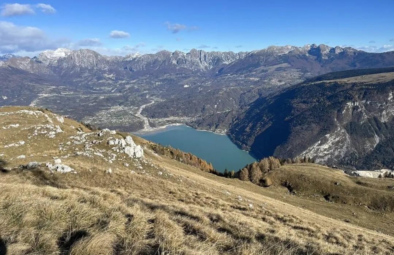
From the center of Farra d'Alpago, with the parish church, crossing the road near the playground, one quickly reaches the shores of Lake Santa Croce, near the Sarathei campsite; continuing for a few dozen meters, to the left, along the lakeshore, one then turns right to take a nature trail that runs alongside the lake, in a picturesque environment also due to the avifauna; after encountering a modern little chapel dedicated to the Madonna and passing the site of the "Alpago nautical club," one arrives at Poiatte, a lively location during the summer known to windsurfing enthusiasts; here the trail ends and, near a parking area, one climbs onto the paved road, proceeding to the right for a bit more than 2 km, passing three tunnels and a fork. After passing a little chapel on the left, after encountering the sign "S. Croce del Lago" (440 m), one continues for another hundred meters, then takes the first secondary road on the left, which enters between the houses of the village; after passing a small fountain (non-potable water) with a little statue of the Madonna and a road sign, one arrives at a fork where one must turn left, immediately finding the signs for the CAI 950 trail; after passing a house, one begins to ascend through a field, then passing between trees until encountering a paved road, which is crossed, then continuing the ascent in the woods, following the CAI signs; after crossing an open grassy section, the trail enters a wider forest road, which climbs up from S. Croce, where one proceeds for quite a stretch, always following the CAI signs, until a fork where, leaving the main gravel road, one takes a narrower trail to the left, climbing steeply through the woods and crossing back at several points the forest road; one continues to ascend the arduous trail until surpassing the edge of the forest, shortly encountering an observation hut (approximately 1250 m); here a short break may be appropriate, to catch one's breath and admire the view of the lake. Then one resumes the steep ascent, following the sparser CAI signs in an open area where, in case of fog or clouds, care must be taken not to lose the trail; finally, one arrives at a fork (1490 m), where, leaving the trail that continues to the former refuge Brigata Alpina Cadore (with the adjacent chairlift), one turns right, continuing along the slope until reaching the Favergheretta hut, and from here, on a wide gravel road, arriving shortly at the Faverghera dairy (agritourism selling local products) and the nearby Botanical Garden of the Eastern Alps (open from June to September); here a stop is mandatory. The visit to the Botanical Garden and the integral nature reserve of Mount Faverghera (entrance fee), which extends over about 6 hectares, allows one to admire a remarkable variety of flora typical of the alpine environment. One then takes the gravel road (trail no. 13 from the ridges - La Casera), initially flat, shortly encountering a fork (with trail no. 14) and from here beginning to descend, still on the gravel road or, alternatively, along the ridges; in this section the panorama opens up over Lake S. Croce and all of Alpago, over Val Belluna, closed to the north by Mount Serva and Schiara, with the characteristic Gusela and to the northwest by the mountains of Sole and Pizzocco; on clear days the view extends north to Marmolada and, to the south, to the lagoon of Venice. Upon arriving near the restaurant "La Casera" (parking and playground), one moves towards the lift facilities on the left, taking a gravel road on which one continues for a few dozen meters, crossing an artificial pool, and, near a radio-television antenna tower, one turns right, entering the ski slope (trail no. 18 "Faverghera Bassa"); one then descends along the wide slope until crossing a gravel road (trail no. 5 leading to the "La Coca" slope), descending further into the woods and then passing beside some houses, in a short stretch bordered by a protective fence, continuing then, downhill with less steepness, until a fork (trail sign no. 18 "Faverghera Bassa") and finally continuing along the main slope until emerging at the terminal section of the "La Coca" slope; from here one quickly reaches the central square of Nevegal (where the chairlift that goes up to the Brigata Alpina Cadore refuge ends). From the square, one descends until reaching a roundabout (fountain) where, turning left, one reaches, in about a hundred meters, the Sanctuary of Nevegal, dedicated to Maria Immacolata, the final point of the stage. The stage, not excessively long, however, requires good training, especially for the strenuous ascent (without points to replenish water) which undoubtedly represents one of the most challenging parts of the entire Cammino delle Dolomiti.
Alpago - Nevegal
Valbelluna

Alpago - Nevegal, Viale al Lago sn Farra - 32016 Alpago (BL) IT
+39 347 2747971
iatalpago@gmail.com
www.alpagocansiglio.eu/
Stay in touch
Sign up for the Dolomites in Belluno newsletter!
You will receive news, information, itineraries, ideas and tips for your vacation throughout the year.