Travel Time: 4 h;
Elevation Gain: 340 meters.
For this itinerary, we recommend starting from the stone village of Funes, now an abandoned hamlet.
From this point, take the steep ascent that exits the village until reaching Noal, where you can detour to see one of the largest alders in Italy (a type of plant from the Betulaceae family). Continue straight at the fork and then take the left track after passing the aqueduct basin, emerging from a larch forest in the Saline area.
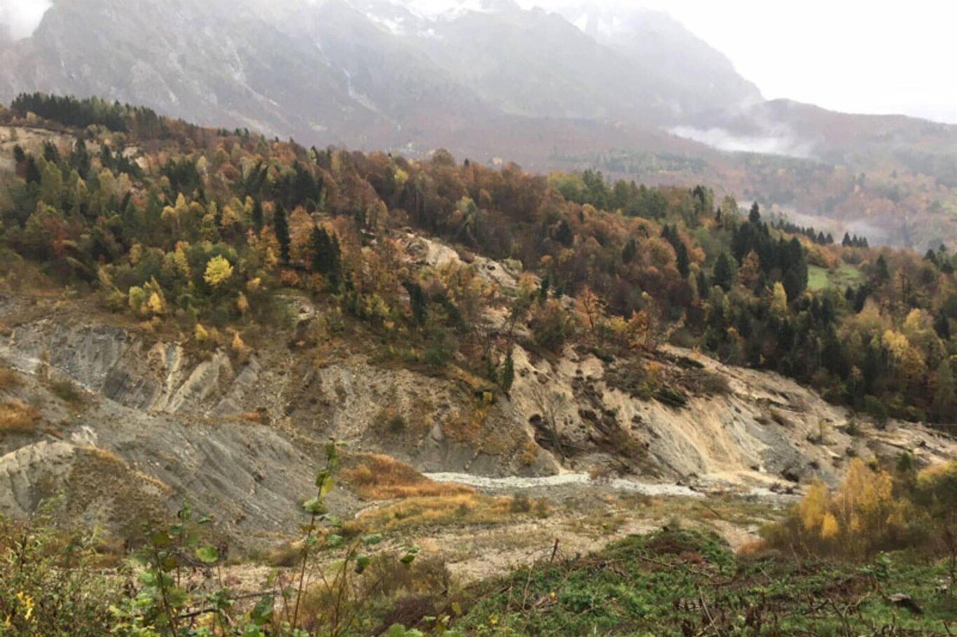
Climb further until reaching the edge of the impressive landslide of ancient origins that is still active; after ascending to the fork for Roncadin, continue left until the deviation for Degnona and descend towards Col Martino, passing by a farm with deer. Finally, from the village, take the main road and turn right along the road that goes over the landslide body, returning to Funes, the starting point.
