Search
Webcams
Lodging
Request information

Sentiero Col Indes e i pascoli di Tambre

Valbelluna

Valbelluna
Valle di Col Indes
Sentiero Col Indes e i pascoli di Tambre

Length: approximately 8 km

Travel Time: 4 h

Elevation Gain: 350 meters

On this itinerary, we recommend starting from the Col Indes parking area.

From this point, follow the road that climbs to Pian Grant and Pian de le Lastre, at the edges of the Cansiglio forest. From Manteo, follow the main path IX of the municipality of Tambre until reaching Casera Pian de i Tac de soto, arriving at the upper edge of the Col delle Fratte quarry. Through trail XVI of Tambre, you reach Stalle Fèdera and further on to the picturesque environment of Stalle Sgurlon.

Upon reaching the Vallon di Col Indes, follow the uphill track of the bobsled run that leads back to the starting point.
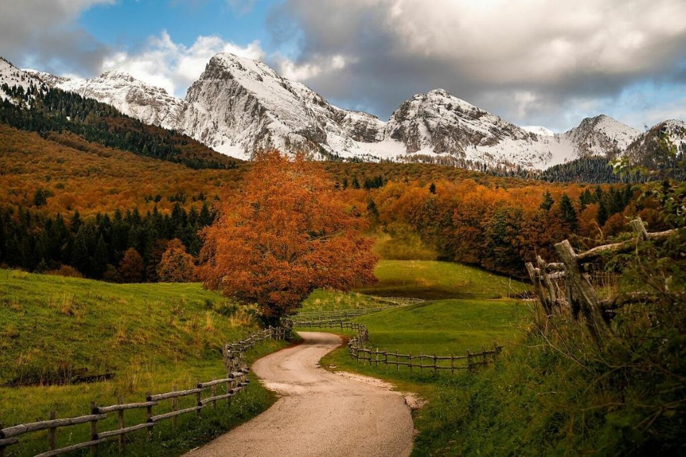
Valle di Col Indes
Stalle Fèdera

Stay in touch

Sign up for the Dolomites in Belluno newsletter!
You will receive news, information, itineraries, ideas and tips for your vacation throughout the year.

Thank you

Grazie: ti abbiamo inviato una mail per attivare la tua iscrizione e selezionare le tue preferenze se previsto.

Something went wrong

Retry

Close

Subscribe to the newsletter


(You can choose more than one)

Cancel
Close

Thank you

Your request has been sent successfully and we will reply as soon as possible. A copy of the data you have provided us with has been sent to your email address.

Close

Request information

You are sending the request to: Belluno Dolomites


Close