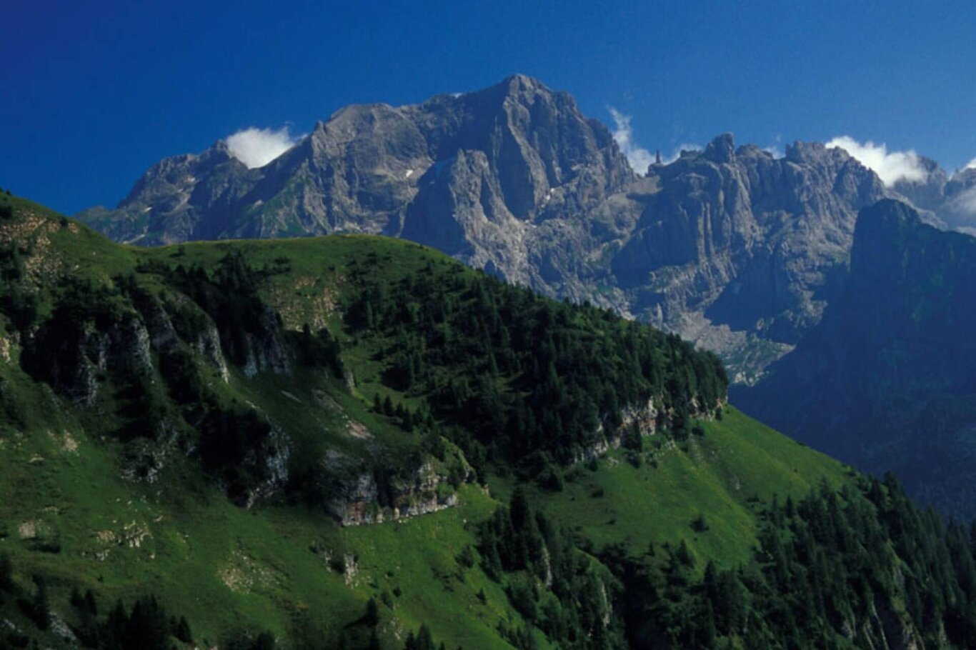
Leaving the car along the SR Agordina, take the road that ascends towards the Bianchet refuge. At the first junction, turn right, passing the barrier that prevents vehicle access. The unpaved road ascends with a constant incline, rising above the Cordevole Valley. After a couple of kilometers from the starting point, the route delves into the Val Vescovà: a valley suspended at the bottom of the Val Cordevole. With a series of hairpin bends, altitude is gained until reaching the source of Fontana Fredda and the location of Sass de i Companc. We then descend to the riverbed and, with one last uphill stretch, we reach the clearing where the Bianchet refuge stands.
USEFUL INFORMATION:
- Departure: Loc. Pinei (Val Cordevole) (486 m)
- Arrival: Rifugio Bianchet (1245 m)
- Difficulty: BC
- Length: 14 km
- Elevation gain: 760 m
- Minimum altitude: 486 m
- Maximum altitude: 1245 m
- Trail markers: CAI 503
- Type of itinerary: Bicycle routes
You are in a natural environment that requires respect:
- Prohibition of flower picking
- Prohibition of swimming
- No to loud noises
- Prohibition of lighting fires
- Do not leave waste behind, but dispose of it in designated areas (including cigarette butts, tissues, masks, and organic waste)
- Minors must be accompanied
- Dogs must be kept on a leash and their waste collected
- Do not go off the trail
- Do not disturb local wildlife
It is suggested to check the ARPAV website for any disturbances before starting the route.
