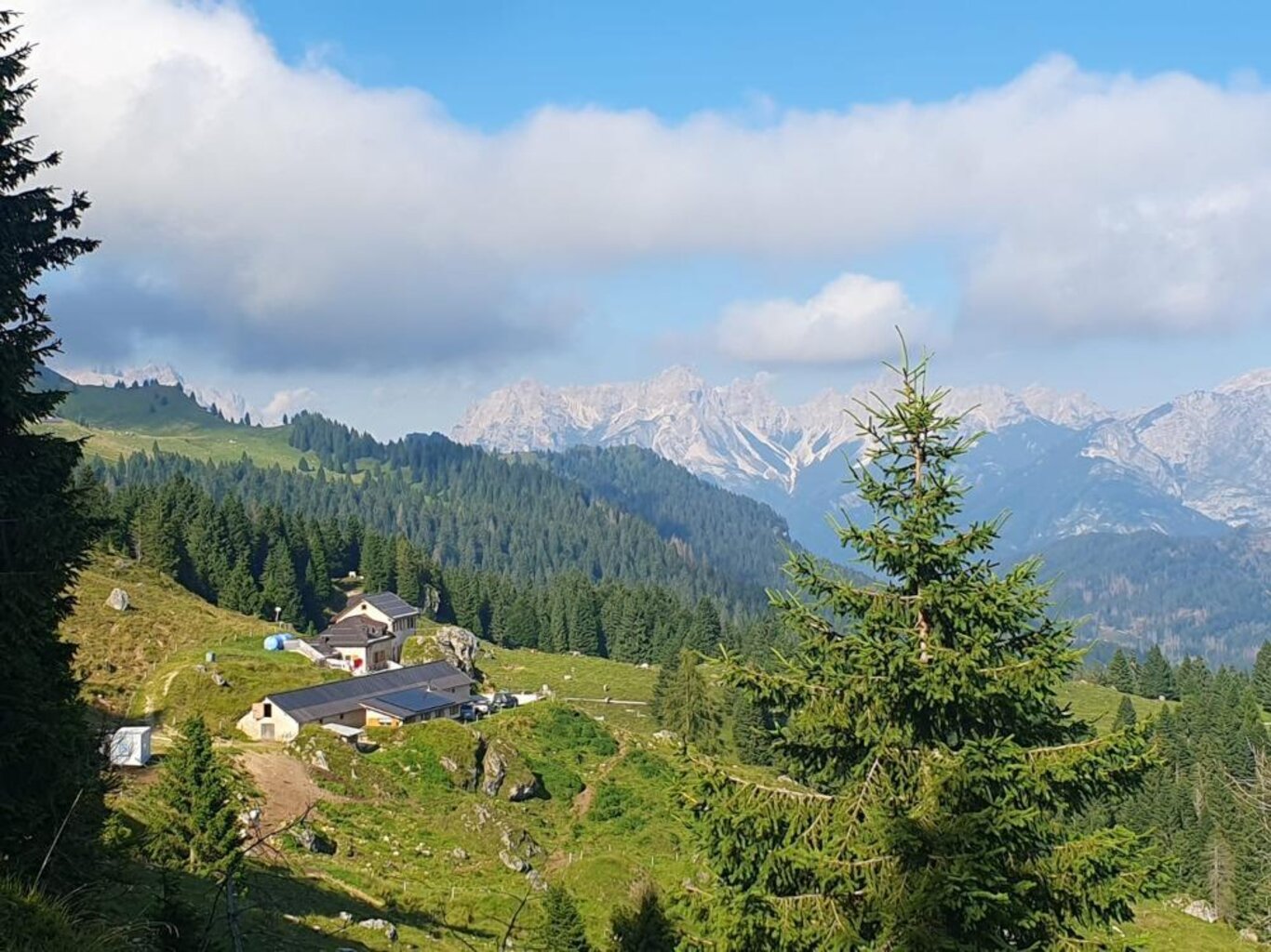
Located at 1,680 meters on the southeast slopes of the last bastions of the Pale di San Martino, the Refuge overlooks the Belluno Dolomites National Park, offering views that reveal the majesty of these UNESCO World Heritage mountains. Here, every step invites you to slow down and respect the rhythms of nature, immersing yourself in a landscape that inspires and moves.
We are attentive custodians of this unique environment, believing that the mountain experience should be approached with care and awareness. Our hospitality respects the surrounding ecosystem: renewable energy, organic and locally sourced products, and sustainable choices in every detail.
Our cuisine reflects the same attention: carefully selected ingredients, authentic flavors, and simplicity in relationships, creating moments of genuine conviviality in harmony with the mountains and those who visit.
How to Reach Us
Rifugio Malga Cavallera can be reached via several routes, suitable for both those looking for an easy walk and more experienced hikers.
From Sarasin di Gosaldo – loc. Domadore (CAI 720 trail)
- Main route: forest road to Malga Cavallera, junction at località Pra della Forca
- Difficulty: easy
- Length / elevation gain: 1.8 km / 350 m
- Alternative without junction: 2.8 km / 350 m – ideal for cycling, mountain biking, carrying small children in a backpack, or horseback riding
-
Note: forest roads from Domadore are not blocked, but they are silvo-pastoral roads and motorized vehicles are only allowed with a municipal permit for professional reasons
From Passo Cereda (CAI 718-777 trails)
- Difficulty: hiking
- Length / elevation gain: 7.4 km / 880 m
-
A route suitable for those seeking a more challenging hike, surrounded by the landscapes of the Belluno Dolomites
From Sant’Andrea di Gosaldo (forest road to Rifugio Malga Cavallera)
- Difficulty: easy
- Length / elevation gain: 3.7 km / 400 m
- Accessible on foot, MTB, skis, snowshoes, and horseback; for small children, a child backpack is recommended
-
Note: these forest roads are not blocked but are silvo-pastoral; motorized access is only allowed with a municipal permit for professional reasons
From Rifugio Scarpa – Gurekian (CAI 773 trail)
- Difficulty: hiking
- Length / elevation gain: 6.8 km / 270 m
-
A route immersed in nature, suitable for hikers of medium experience
From Rifugio Treviso – Val Canali (CAI 720 trail)
- Difficulty: hiking (Forcella delle Mughe section requires attention)
- Length / elevation gain: 3.4 km / 650 m
-
Suitable for experienced hikers; pay attention to more demanding sections
General warnings
- Avoid the trail starting near the pharmacy in Don di Gosaldo (Malga Cavallera / Bivacco Menegazzi): recently affected by logging, difficult orientation for those unfamiliar with the area
Contact Us
For any information or quote request:
rifugiocavallera@gmail.com
+39 351 8150470
