

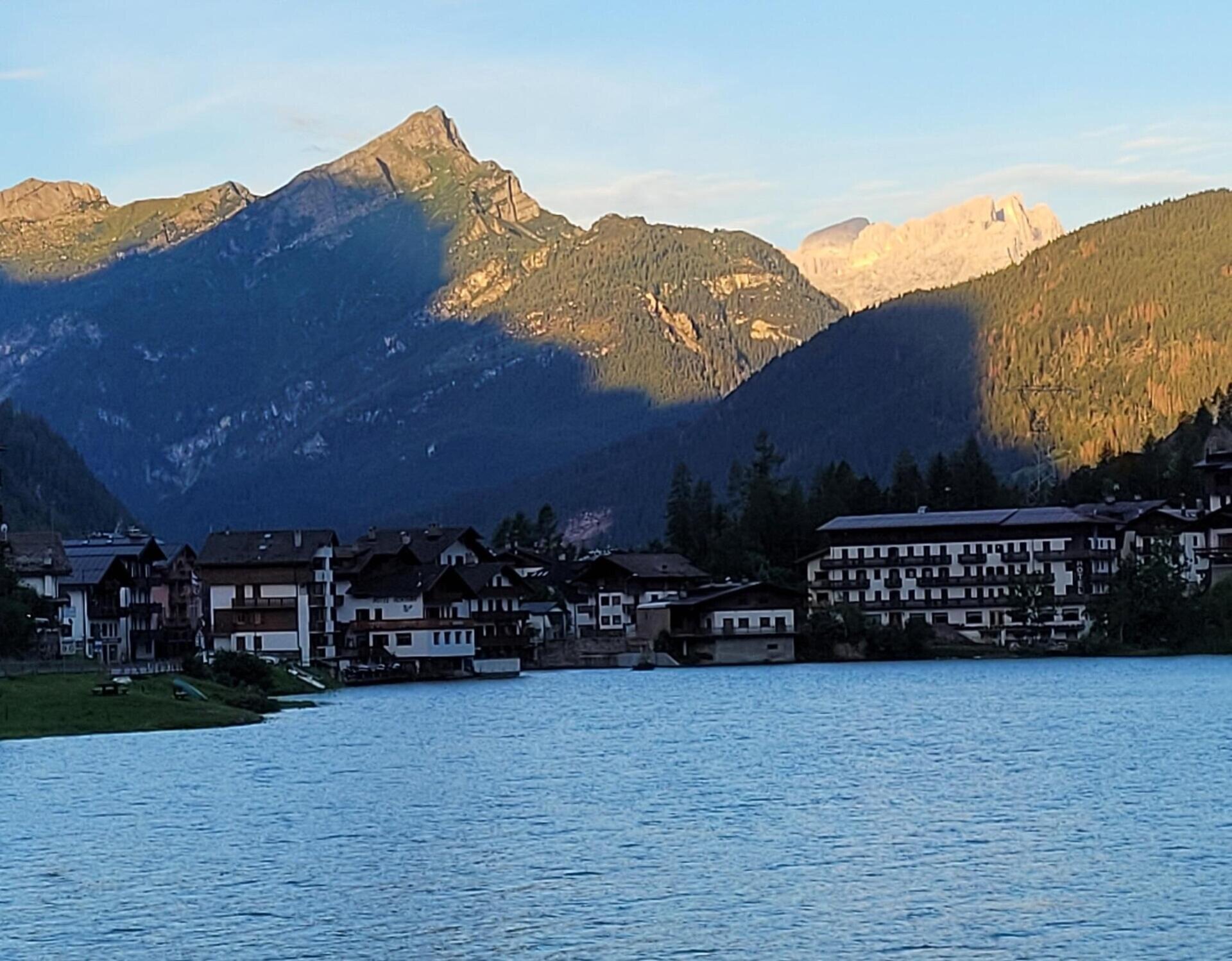
Alleghe-Cencenighe-Canale d'Agordo-Valle di Gares-Vallada Agordina-San Tomaso Agordino-Alleghe Splendid excursion from Val Cordevole to Valle del Biois through forests and clearings of great environmental value.
Damage to the Val Cordevole cycle path, caused by hurricane Vaia, forces us to reach Cencenighe for the time being, using the regional road 203 Agordina for a stretch. Starting from Alleghe, you reach Masarè along the 203 Agordina road and as soon as you begin the descent near the Alleghe campsite, you turn left onto the small municipal road which reaches Vare.
Having passed the viaduct, while awaiting the restoration of the cycle path damaged by "Vaia" continue along the 203 to Cencenighe where, after a characteristic passage through the centre of the village continue towards Canale d'Agordo, leaving both tunnels on the left which you will come across as you travel along the old road.
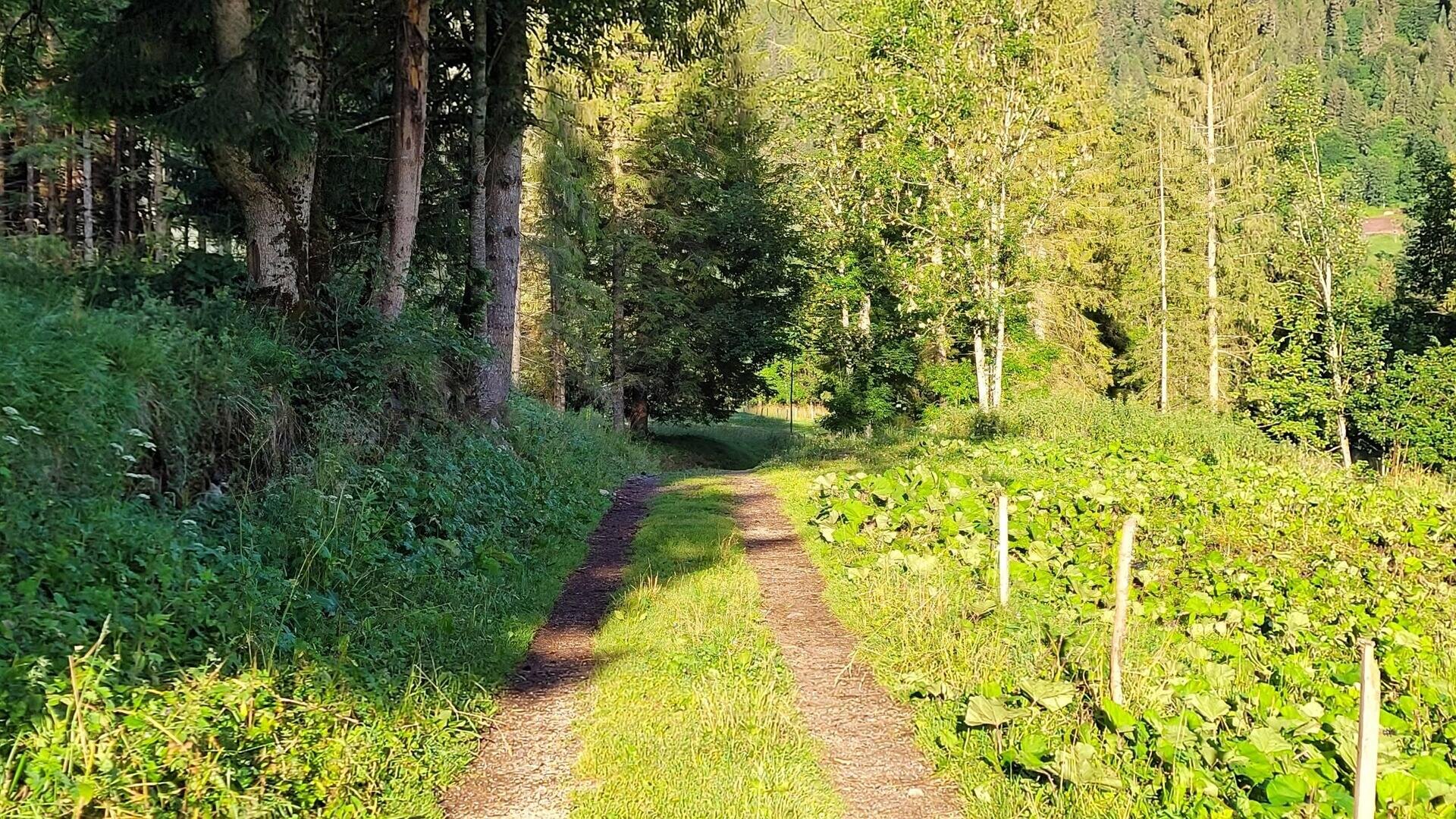
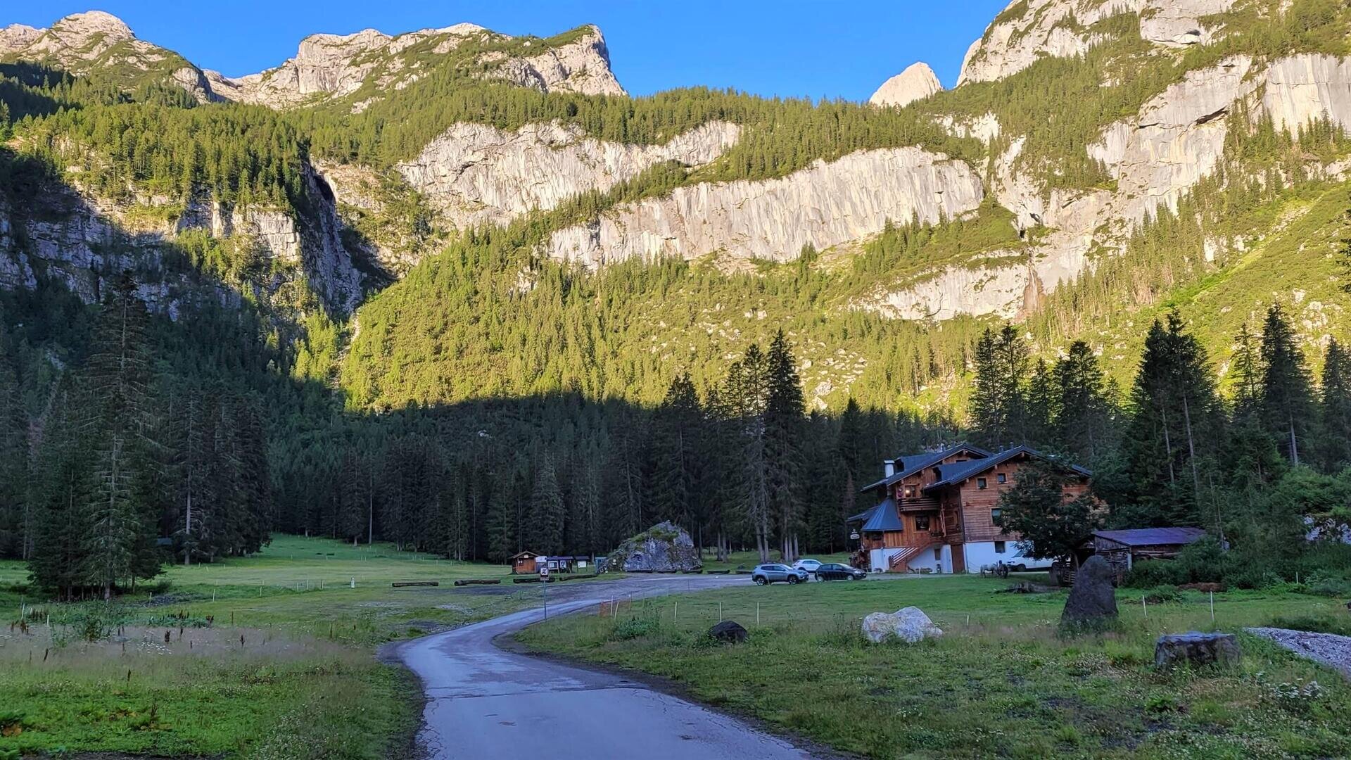
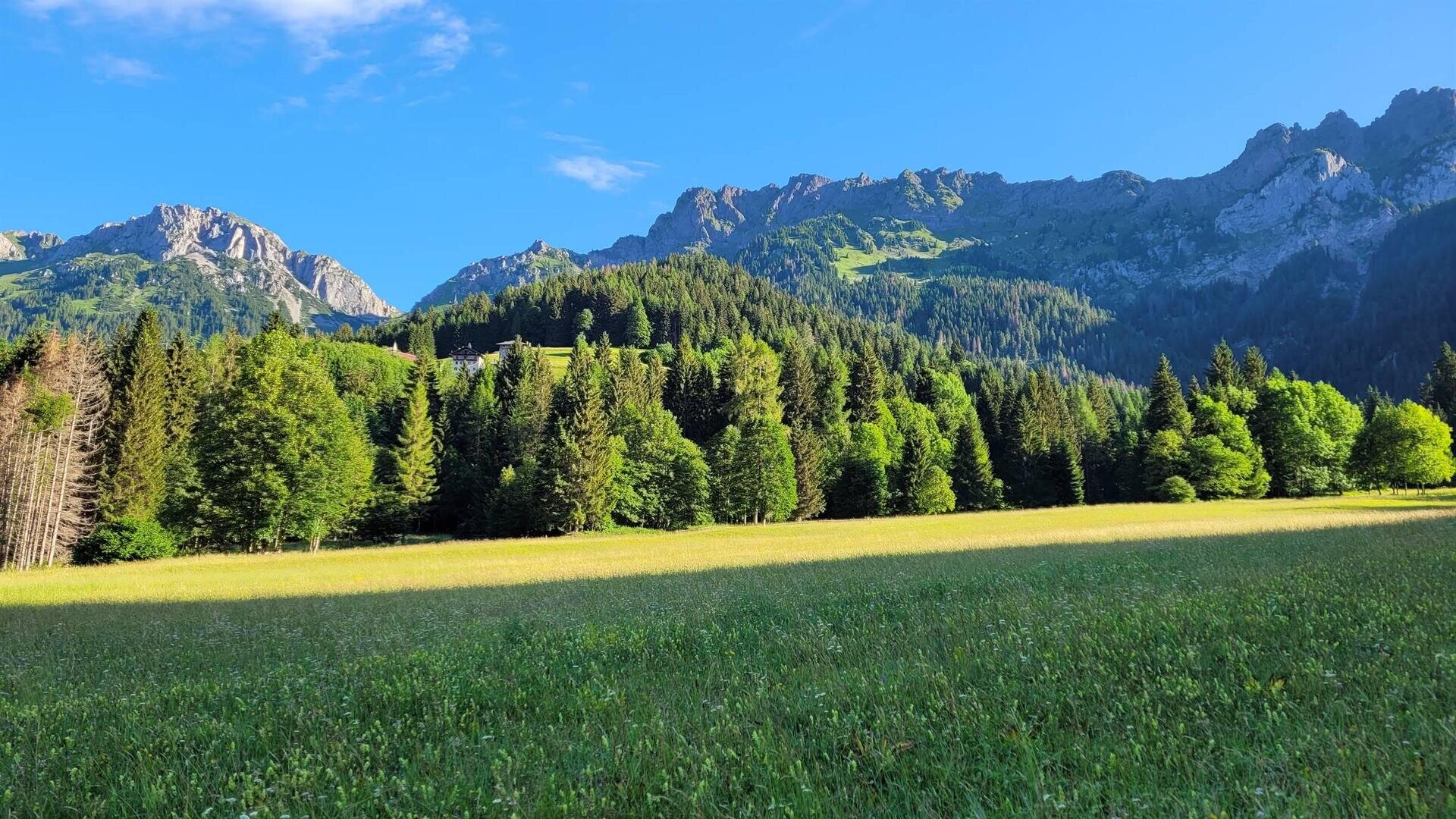
A little further on a diversion to the left allows you to cross the Biois stream and join the cycle track that climbs towards Canale. The route climbs steadily without any jolts until a fork where you turn left to reach Canale d'Agordo on a steep but short climb. Follow the signs for Gares, always remaining on the beautiful dirt track. You reach the splendid green plain at the head of the valley and ride along a loop that becomes a Nordic skiing track in winter.
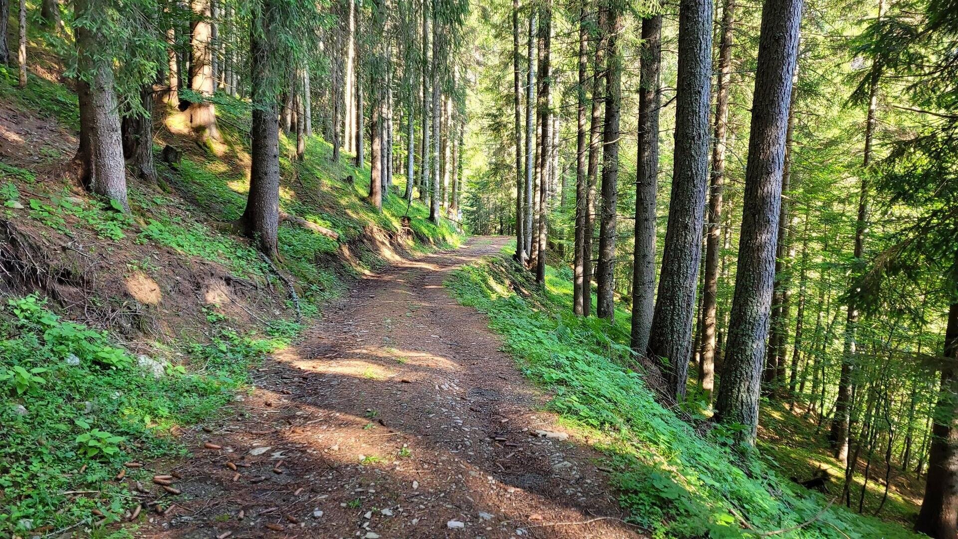
For the return loop you can climb up to the village of Gares and from here descend the fun and very fast municipal road that on asphalt takes you back to Canale. A short stretch on the road from Canale to Vallada Agordina, where you climb up to the village, also via fun but steeper shortcuts, and proceed to the F.lla di San Tomaso about 3 km further up at an altitude of 1350m. The dirt road descent along the Dolomites in miniature route is beautiful.
We recommend turning towards this hamlet at the junction for Pianezze to avoid a bumpy stretch. Along the way, you can admire the miniature sculptures of Tofana, Marmolada, Torri del Vajolet and other groups. From Pianezze we descend towards the valley floor on a steep communal road and from Avoscan we pass over a short section of SR 203 before returning to the internal road towards Camping Alleghe taken at the start of the tour.


