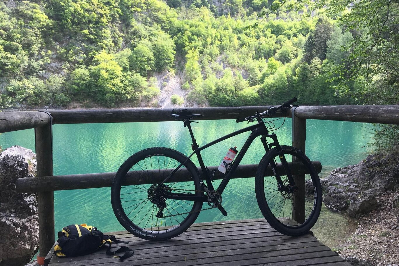
Loop itinerary starting from Garna, a fraction of the former Municipality of Pieve d'Alpago now called Alpago.
Total distance of about 42 km with a positive elevation gain of 680 meters: most of the route is on paved roads with a few dirt sections but still of medium difficulty. It is possible to use muscular mountain bikes, gravel bikes, and of course e-bikes.
After a short distance, a panoramic stop at the church of St. Peter is a must, where you can see all the villages surrounding the lake.
A brief and unique technical descent on dirt awaits us to connect with the bike path leading to the lake, which we follow until we reach Poiatte, where due to force majeure we will need to take the state road to Santa Croce.
After a stop at the Bay of Sirens, we set off again, skirting the lake until the fork for Cornolade. Climbing for 2 km, we reach the place where canyoning is practiced in summer and ice climbing in winter: the Cornolade Waterfalls.
After another 2 km of climbing, we stop at a farm for a fruit juice of their production to refresh ourselves before returning to the starting point.
USEFUL INFORMATION
Parking: Unione Montana Alpago
Path length: 42 km
Altitude difference: 680 m
Duration: full day
Difficulty: difficult
You find yourself in a natural environment that demands respect:
- Prohibition of flower picking
- Prohibition of swimming
- No loud noises
- Prohibition of lighting fires
- Do not leave waste around, but dispose of it in the appropriate areas (including cigarette butts, tissues, masks, and organic waste)
- Minors must be accompanied
- Dogs must be kept on a leash and their waste collected
- Do not leave the path
- Do not disturb local wildlife
It is advisable to check the website of ARPAV for any disturbances before starting the trail.
