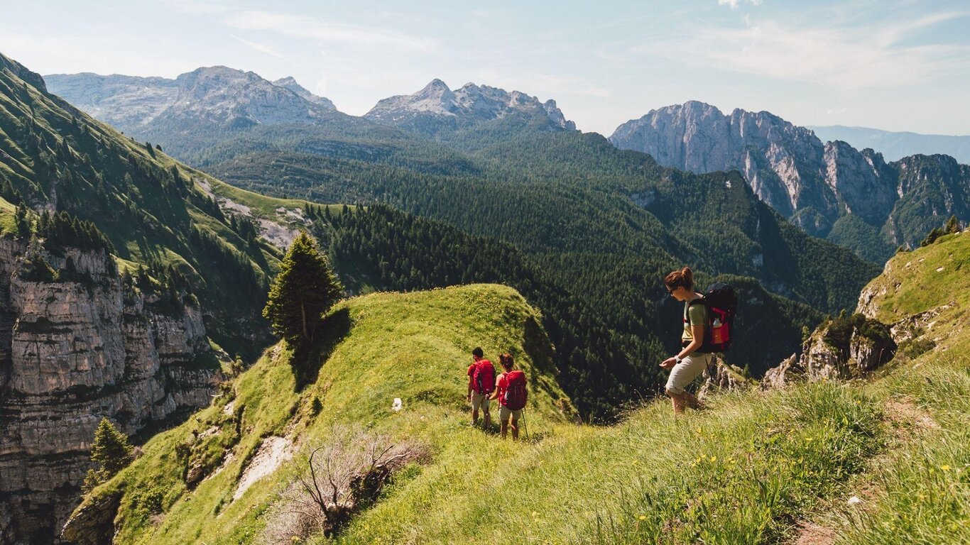
The Alta Via delle Dolomiti Bellunesi is a hiking route divided into 7 stages that traverses the Dolomiti Bellunesi National Park from north to south. The trail develops in some of the wildest and least frequented corners of the entire Dolomitic park, offering an authentic immersion in a natural mountain environment. The route features significant elevation changes, limited support structures, refuges that have remained unchanged over time, and exposed sections where experience and a steady foot are required.
Route Features
This is a stage-by-stage trek in an isolated mountain environment, characterized by majestic landscapes. Some sections may include technical or exposed passages.
The completion of the itinerary requires a good level of physical preparation, a sense of orientation, and the ability to manage oneself independently in the more remote segments.
The route starts in Forno di Zoldo and ends in Feltre, crossing the Prampèr-Mezzodì, Schiara, Monti del Sole, Piani Eterni, and Vette Feltrine groups. It winds along CAI paths, with some variants on thematic trails of the park, requiring experience and orientation in the more isolated stretches. About half of the itinerary coincides with Alta Via n. 1 and n. 2.
Over seven days, one traverses wild environments, historic walls, alpine pastures, and authentic refuges, managed with passion. It is still a true mountain, far from mass tourism, where it is not uncommon to walk alongside chamois and mouflons.
The route is marked with a purple bellflower at key points, but it is essential to know how to read the map correctly and consult it along the way.
USEFUL INFORMATION
Total Length: Approximately 110 km
Positive Elevation Gain: Approximately 6,500m
Negative Elevation Gain: Approximately 7,500m
Minimum Altitude: Approximately 325 m (Feltre)
Maximum Altitude: Approximately 2,540 m above sea level (Monte Schiara or Forcella del Marmol, depending on the variant followed)
Estimated Duration: About 7 days, depending on the division of the stages
Difficulty: EE – Expert Hikers. Some sections may require sure-footedness, no fear of heights, and the ability to move independently in a mountain environment.
Suitable for: Experienced and well-trained hikers, lovers of unspoiled natural environments. Not suitable for beginners or families with children.
Recommended Period: From mid-June to mid-September, avoiding periods following heavy rains or with a risk of snow at altitude.
Recommended Equipment: Hiking boots, trekking poles, technical clothing for high mountains, GPS or gpx track, first aid kit,
water supply, food for isolated sections.
Support Points: Refuges, bivouacs, alpine huts: Rifugio Boz, Rifugio Bianchet, Bivacco del Màrmol, Bivacco Sperti, Rifugio Pian de Fontana, and others based on the stages.
