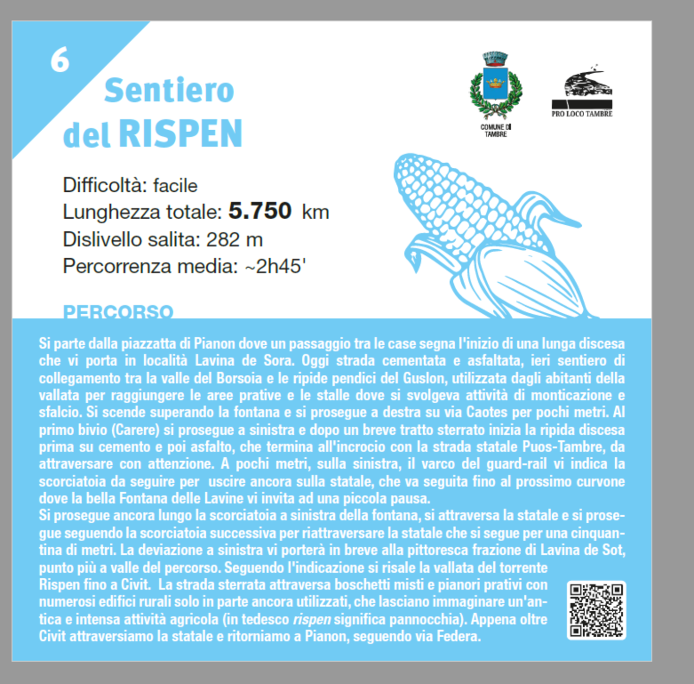
Starting from the small square of Pianon, a passage between the houses marks the beginning of a long descent that leads you to the Lavina de Sora area. Today it is a cemented and asphalted road, whereas yesterday it was a path connecting the Borsoia valley and the steep slopes of Guslon, used by the inhabitants of the valley to reach the meadows and stables where activities like mountain pasturing and mowing took place. You descend, passing the fountain, and continue to the right on via Caotes for a few meters. At the first fork (Carere), you turn left, and after a short stretch of dirt road, the steep descent begins, first on cement and then on asphalt, which ends at the intersection with the Puos-Tambre state road, which must be crossed carefully. A few meters away, on the left, the gap in the guardrail indicates the shortcut to follow to get back onto the state road, which should be followed until the next bend where the beautiful Fontana delle Lavine invites you to take a small break. Continue along the shortcut to the left of the fountain, cross the state road, and proceed following the next shortcut to cross the state road again, which you follow for about fifty meters. The left turn will quickly take you to the picturesque hamlet of Lavina de Sot, the lowest point of the route. Following the signs, you ascend the valley of the Rispen stream until reaching Civit. The dirt road passes through mixed woodlands and grassy plateaus with numerous rural buildings, some of which are only partially still in use, hinting at an ancient and intense agricultural activity (in German, rispen means ear of corn). Just beyond Civit, we cross the state road and return to Pianon, following via Federa.
Difficulty: easy
Total length: 5.750 km
Elevation gain: 282 m
Average duration: ~2h45'
