

The itinerary starts from the church of Norcen where there are some parking spots and a picnic area. From here, we ascend along the asphalt road, bordered by a dry stone wall covered in ferns. In about ten minutes, we reach the hamlet of Valduna, made up of small clusters of houses.
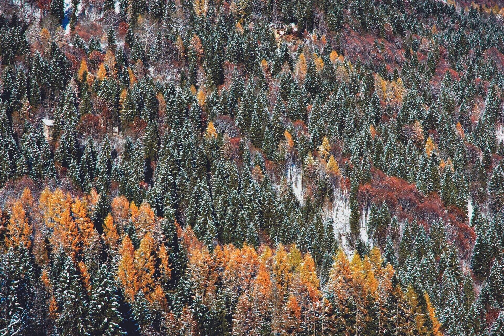
Continuing in the same direction, we pass through a stretch of forest with fir, larch, and hornbeam until we notice, next to the road, a building featuring typical elements: stone steps to facilitate access to the barn, and masonry with porphyry blocks to provide greater resistance at the corners.
After crossing a small valley, we resume ascending until the fork at Case Valerna (about 1 hour from Norcen), where we abandon the asphalt road leading to the Paradis to continue on unpaved paths. Leaving behind some old buildings, the route leads in a few minutes to the Boa spring and then to the locality of Stalle Boa. Following the main track, about 100 m from the Porcilla torrent incision, we take a right on a mule track that delves into the woods among hazels, firs, and willows with greenish bark.
Near a catchment area, we leave the more obvious path to ascend the wooded slope to the left. Gaining the road coming from Pedavena, we travel uphill, and shortly after a hairpin bend, we deviate onto a secondary track. Once again reaching the asphalt road, we continue towards Croce d’Aune.
Arriving at Cimamonte (3 hours from Norcen), a crossing point of the Alta Via n. 2 and the itinerary of the foothill churches, we continue along the cart track on the right. After about half an hour of walking from Croce d'Aune, we arrive at Stalle Norcenadego; to the south, we see the grassy hill of Soladen. At the next fork, we should choose the path on the right; however, a pleasant digression can be made by continuing straight until the view opens up onto Mt. Magheron and the Camogne meadow.
Returning to the itinerary, we descend along an unpaved road that can be muddy during thaw and periods of heavy rain. The steep mule track, with an uneven surface due to the presence of large stones, leads us to a fork, from which we head right.
The path resumes downhill, reaching, after a few bends, the meadow where the beautiful casère of Paradis stand. From here, we divert to the left, descending along a small valley covered by forest; after passing an isolated rustic dwelling, we quickly arrive at the clearing of Casera Fioretta.
Just below Casere Monegat, at a curve in the asphalt road, the path branches off, descending in a few minutes to an important crossroads. At this point, we proceed to the right, always immersed in the beech and Norway spruce forest; a bit further down, we encounter a mule track, which we follow until a clearing with large erratic boulders.
Upon reaching the crossroads in the locality of Trugno, we follow the asphalt road downhill, which borders a small valley, leading quickly back to Norcen and thus to the starting point.
DEEPENING ON... The Dolomiti Bellunesi National Park
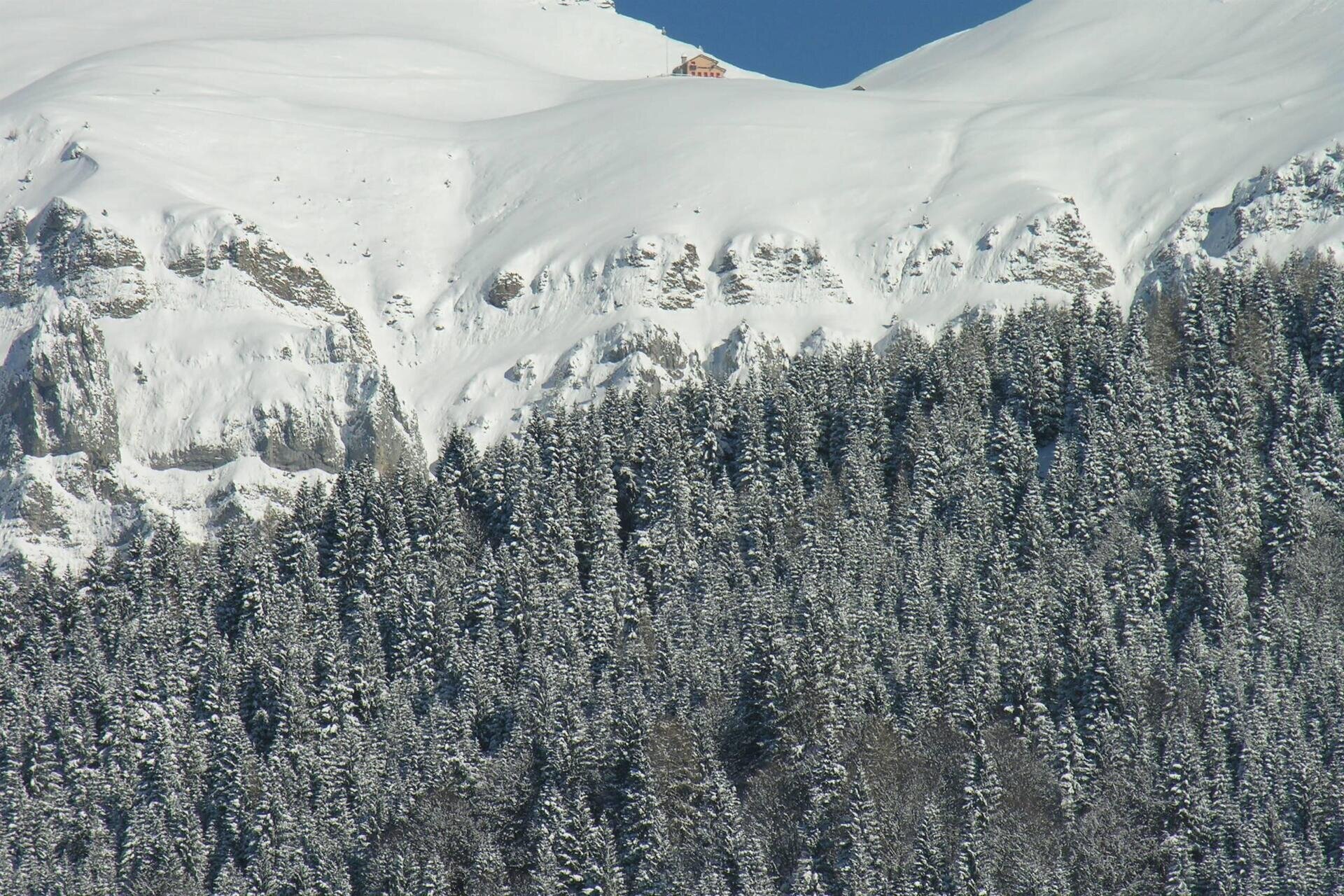
The Dolomiti Bellunesi National Park has an area of about 32,000 hectares, covering 15 municipalities in the province of Belluno, including Pedavena. The current perimeter derives from an initial core of nature reserves established in the 1970s to protect the high-altitude environments, which are richest in floral and faunal components but also the most vulnerable. Its official creation dates back to 1993, the year the Dolomiti Bellunesi National Park Authority was established. Now, the territory encompasses not only the summits of mountain groups such as the Alpi Feltrine, the Monti del Sole, the Schiara-Talvena, and the Prampèr, but descends into the valleys, excluding built-up areas. Walking in the park, one encounters very varied environments: waterways, forests, scrublands, alpine meadows, debris flows, and rocky cliffs. The high biodiversity is one of its distinguishing features: 1,500 botanical species, many of which are rare or endemic, 4 species of Tetraonids (capercaillie, black grouse, rock partridge, and red-legged partridge), and 4 species of ungulates (roe deer, deer, chamois, and mouflon).
USEFUL INFORMATION:
Departure and arrival: Church of Norcen (510 m above sea level)
Locations traversed: Valduna, Valerna, Stalle Boa, Croce d’Aune, Cimamonte, Stalle Camogne, Pian dell’Albero, Paradis, Salzena, Monegat, Grip, Trugno
Signage: blue and white directional arrows with the inscription “Anello delle Camogne”
Distance: 11.4 km
Elevation gain: 586 m
Travel time: 5.00 hours
Difficulty: medium
Recommended period: all year round, but particularly pleasant in autumn for the colors of the vegetation; in winter it can become challenging due to snow and possible icy sections
Points of interest: village and church of Norcen, tourist center of Croce d’Aune, landscape of Camogne and Salzena, typical rural buildings
Notes: a rather long route with a significant elevation gain, reaching Croce d’Aune; however, the trail does not present particular difficulties, except for some steep sections, which can be muddy and uneven. For this reason, it is also passable, with some experience, by mountain bike.
You are in a natural environment that requires respect:
- Prohibition of flower collection
- Prohibition of swimming
- No loud noise
- Prohibition of lighting fires
- Do not leave trash around, but dispose of it in the designated areas (including cigarette butts, tissues, masks, and organic waste)
- Minors must be accompanied
- Dogs must be kept on a leash and their waste collected
- Do not leave the trail
- Do not disturb local wildlife
It is recommended to check the ARPAV website for any disruptions before embarking on the route.

